
When the aspens drop their last gold leaves and the first snow dusts the peaks, the Roaring Fork Valley gets a little quieter. Up in the high country, it gets a lot quieter. Scattered above Aspen and along the Crystal River are the bones of towns that once rang with hammers, saloon pianos and the shouts of men who were sure they'd struck it rich.
Then the ore ran thin, the winters ran long, and the people simply left. What remains are sagging cabins, empty windows and a silence you can almost hear. Here are the ghost towns of the Roaring Fork, the stories that emptied them, and how to visit before the snow seals them off for another winter.
Independence: The Town That Fled on Skis
Sixteen miles east of Aspen, just below the summit of Independence Pass, sits the most haunting story in the valley. Prospectors struck gold here in 1879 and named the camp for the day they founded it, the Fourth of July. Over its short life it went by several names, including Chipeta, Farwell and Sparkill.
The boom didn't last. At nearly 11,000 feet, the wind never stops and winter never really leaves. By 1888, Aspen had grown to around 7,000 people, while fewer than 100 souls clung on in Independence.
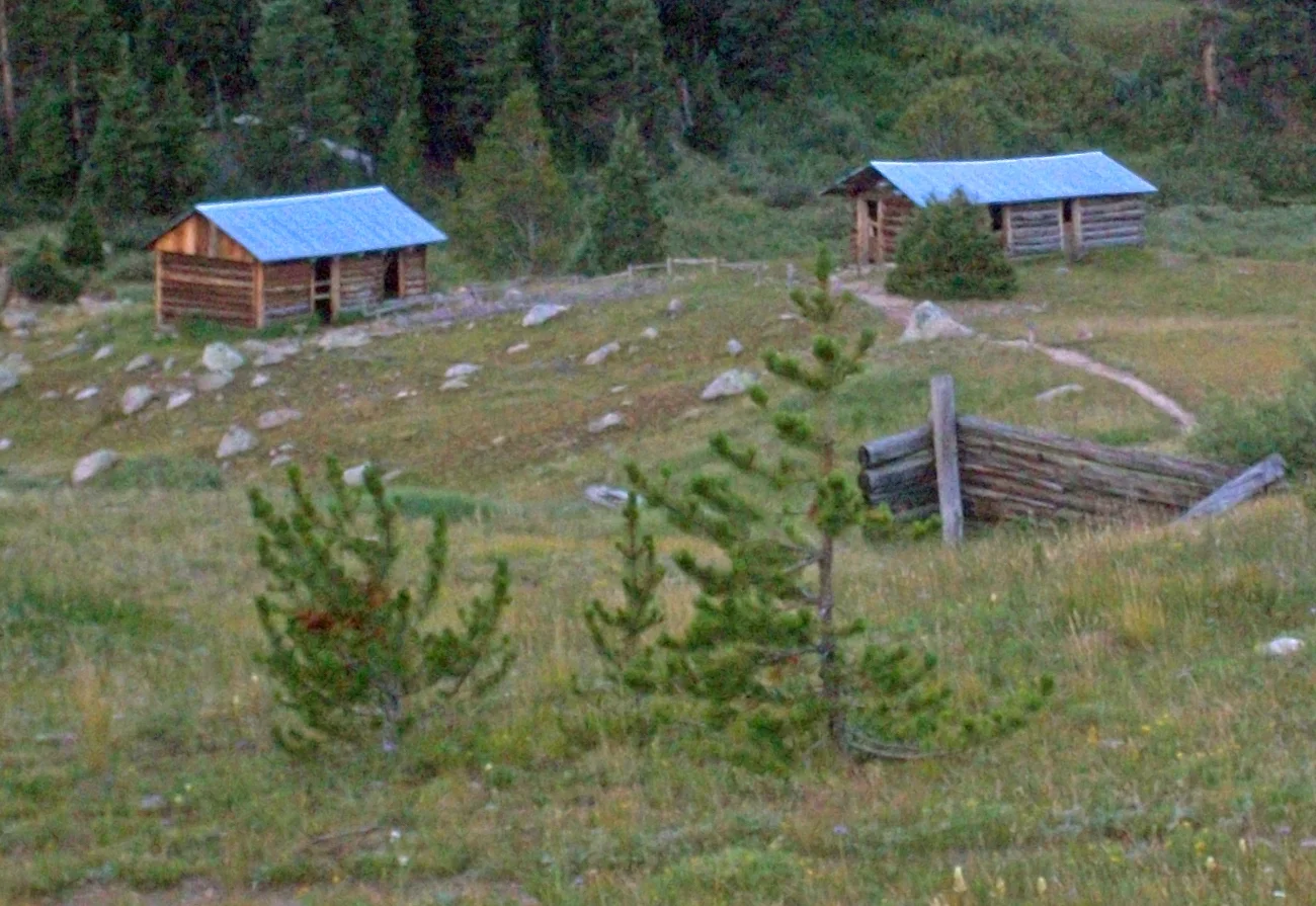
By Daniel Case - Own work, CC BY-SA 3.0, https://commons.wikimedia.org/w/index.php?curid=17161382
Then came the winter of 1899, remembered as the worst storm in Colorado's recorded history. Snow buried the supply routes and the food began to run out. With no way in and no way out, the remaining miners did something extraordinary: they pulled apart their own homes, shaped the planks into 75 pairs of skis, and escaped together down the mountain to Aspen.
A local historical marker adds a darkly charming detail. The residents reportedly turned their flight into a "race" to Aspen, with an entry fee of one ham sandwich. By 1912, the town was completely deserted.
Visiting: Independence sits right off Highway 82, about 30 minutes from Aspen. The Aspen Historical Society manages the site with self-guided, honor-system admission (a $5 suggested donation per adult). Dogs aren't permitted in the townsite. Walk the trail past the old general store and the Farwell Mill ruins, and picture the wind howling through those walls in February 1899.
Ashcroft: The Boomtown That Outshone Aspen
It's hard to believe now, but the quiet meadow 11 miles up Castle Creek Road once had bigger ambitions than Aspen. In the spring of 1880, prospectors Charles Culver and W.F. Coxhead found silver where two forks of Castle Creek meet. They called their camp Castle Forks City, and within months it was crawling with fortune seekers.
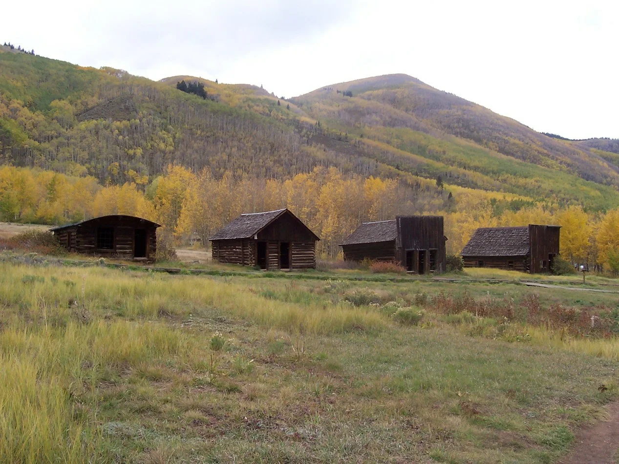
By John Holm from Leadville, CO, USA - Ashcroft main street, CC BY 2.0, https://commons.wikimedia.org/w/index.php?curid=7353985
By 1883, by most accounts, Ashcroft was home to around 2,000 people, two newspapers, a school, sawmills, a small smelter and a remarkable number of saloons. The ore was so rich that Leadville silver king Horace Tabor bought into the Tam O'Shanter mine. Legend says that when Tabor and his new wife, Baby Doe, visited in 1883, he threw a grand ball and bought a round for everyone in every saloon in town.
The party didn't last. The deposits proved shallow, Aspen's richer strikes lured miners away, and when the railroads reached Aspen in 1887 and 1888, they never climbed up Castle Creek. Families loaded their belongings, and in some cases their buildings, onto wagons and moved down the valley. By 1913, when the post office closed, only about 25 people remained.
Today, the Aspen Historical Society cares for the townsite under the first Forest Service permit ever granted to a historical society to preserve a ghost town. Walk the old main street and you'll find the hotel, the post office, the jail and the remains of the Blue Mirror Saloon. In summer, docents lead tours as the town's "resident ghosts."
Visiting: Ashcroft is about 20 minutes from Aspen on Castle Creek Road and is open year-round. Come late in the day, when the light goes long and gold across the meadow and the empty doorways start to look like they're watching you.
Crystal: The Dead Horse Mill
You've almost certainly seen it on a calendar or a postcard: a weathered wooden building perched on a rock above a rushing river, framed by mountains. The Crystal Mill is one of the most photographed historic sites in Colorado. Fewer people know its eerier nickname, the Dead Horse Mill.
The structure was built in 1892, and despite its name, it was never really a mill. It was a powerhouse. Water from the Crystal River spun a turbine that ran an air compressor, sending power to miners working the Sheep Mountain Tunnel. When the mine shut down in 1917, the machinery fell silent, and the town of Crystal faded with it.
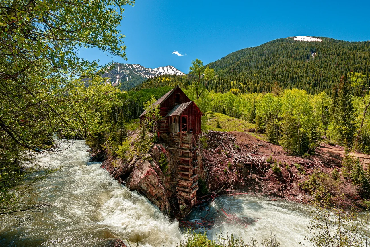
By JahnyBravo - Own work, CC BY-SA 4.0, https://commons.wikimedia.org/w/index.php?curid=89082304
Just up the road, the old townsite still holds a handful of cabins. A few owners return each summer, but no one stays through the winter. Crystal has never had electricity, and when the snow comes, the town goes dark and empty, just as it has for a century.
Visiting: The mill sits about six miles east of Marble on Gunnison County Road 3, a narrow, rocky, one-lane road that needs a high-clearance 4x4 (or strong legs if you hike or bike in). The site is private property. After vandals damaged the structure, the owner closed access to the river below the mill in 2023, so take your photos from the road and leave it standing for the next visitor. Plan this trip for summer or early fall; the road becomes impassable once winter sets in.
The Forgotten Camps
Beyond the famous three, the valley is dotted with camps that most visitors drive right past, and some that have nearly vanished altogether.
Lenado, up Woody Creek Road at about 8,540 feet, began as a lead, silver and zinc camp in the 1880s. It went quiet, then came briefly back to life in the 1960s and '70s as a logging and sawmill community of around 100 people. Today only a few residents and old structures remain at the end of a long, winding road.
Ruby, a silver camp in Lincoln Gulch south of Independence, flickered to life in the 1890s and disappeared just as fast.
Cooper's Camp and Kellogg, just south of Ashcroft, were tiny satellite camps whose names survive mostly on old maps.
Placita, on the Crystal River north of Marble, was a coal town that hung on into the 1930s before it, too, was abandoned.
These places have little left to see, which is exactly what makes them unsettling. You can stand where a whole town once stood and find nothing but wind, timber scraps and the feeling that someone just left.
Before You Go: Beat the Snow
The same winters that emptied these towns still decide when you can reach them.
Independence Pass closes every winter, usually in late October or early November, and typically reopens around Memorial Day. In 2025, the gates closed on November 17. Check the Colorado Department of Transportation (CDOT) for current status before you head up Highway 82.
Ashcroft is the easy one. Castle Creek Road stays open, so the townsite is reachable year-round. In winter, the area becomes cross-country ski country.
The Crystal road is a summer-and-fall trip. Once snow arrives, County Road 3 is off the table for vehicles.
Take only photos. These sites are fragile, and some sit on private land. Don't climb on structures, remove artifacts, or enter buildings that are closed off.
Dress for the altitude. Independence sits near 11,000 feet. Even a sunny autumn afternoon can turn cold and windy fast, which is exactly how this whole story began.
The Valley Remembers
The Roaring Fork Valley is famous for what it became: world-class skiing, festivals and mountain towns that hum year-round. But scattered above it are the places that didn't make it. They were built on silver, gold and pure stubbornness, and abandoned when the mountains won.
So this fall, before the gates close and the snow settles in, take a detour. Stand in the doorway of an Ashcroft cabin or listen to the wind cross the ruins of Independence. Then ask yourself how long you would have lasted up here, before you too started looking at the walls and thinking about skis.